
Google Maps vs. Google Earth – Where lies the difference?
If you’re old enough, you’ll remember how Google Earth changed the way we drove, traveled, and generally moved around. Prior to the program’s launch in 2001, you had to study an actual paper map to drive somewhere new. Or at least ask a knowledgable relative or friend. Those were different times. Today, Google Maps seems to have eclipsed Google Earth as a map service, but Google Earth is still around. This leads us to wonder, when considering Google Maps vs. Google Earth, where lies the difference? We will try to answer this question below.
What is Google Maps?
We know Google maps as an online map service that helps us see any road at any time. According to Wikipedia, Google Maps can be defined as, “…a web mapping service developed by Google. It offers satellite imagery, aerial photography, street maps, 360° interactive panoramic views of streets, real-time traffic conditions, and route planning for traveling by foot, car, bicycle, and air, or public transportation.”

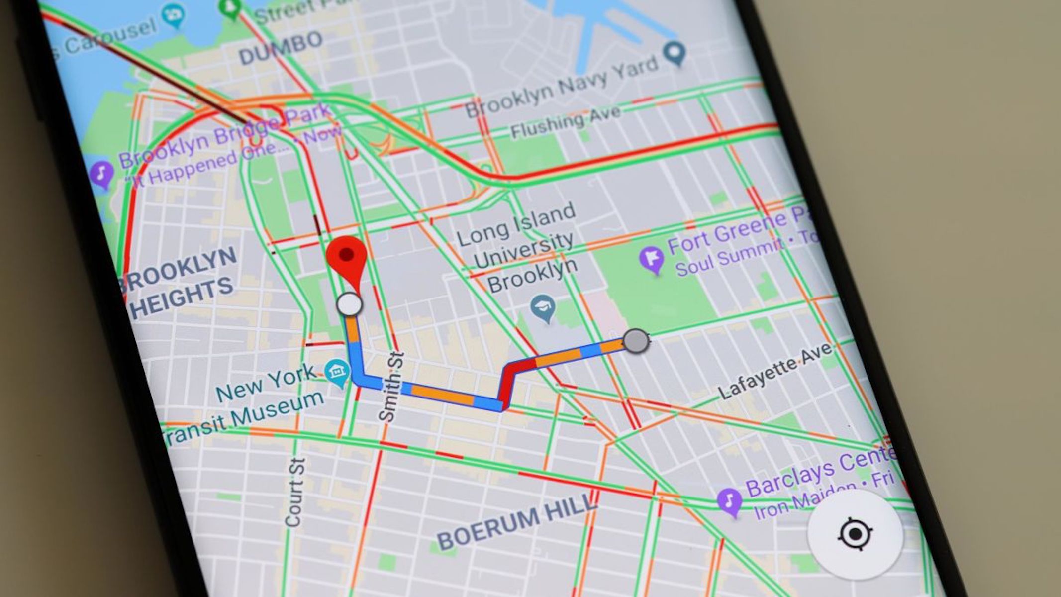
Google Maps Screenshot
Wikipedia also writes that Google Maps started as a C++ desktop program at a company called Where 2 Technologies. Google acquired the company in October 2004. They then converted the maps program into a web application. With additional acquisitions of a geospatial data visualization company and a real-time traffic analyzer, Google Maps launched in February 2005. The rest is history.
What is Google Maps used for?
The Daily Express says, “Google Maps is the basic navigational app that can help you get from point A to point B via the simplest route. When it comes to finding places to go and how to get there, Google Maps should be your first port of call.”

Google Maps App Logo
The information that Google Maps provides is up-to-date and on the cutting edge of software. It can help anyone get around almost everywhere. Particularly effective is Google Maps’ GPS, which can give people accurate directions from anywhere to anywhere. So, say you’re on vacation in Rome and want to see the Colosseum. The program can give you walking directions from your hotel to the point-of-interest. But you knew that already.
What is Google Earth?
When comparing Google Maps vs. Google Earth, it’s helpful to know that Google Earth has been around a little longer. It was released in 2001. Wikipedia says, “Google Earth is a computer program that renders a 3D representation of Earth based primarily on satellite imagery. The program maps the Earth by superimposing satellite images, aerial photography, and GIS data onto a 3D globe, allowing users to see cities and landscapes from various angles. Users can explore the globe by entering addresses and coordinates, or by using a keyboard or mouse. The program can also be downloaded on a smartphone or tablet, using a touch screen or stylus to navigate.”

Google Earth Screenshot
What is Google Earth used for?
Daily Express says that Google Earth is for explorers. People who want to find out what a place really looks like before traveling there. The program offers high-resolution 3D rendering of the satellite data from Google Maps. This lets users roam around pretty much anywhere in the world and see what a place looks like.
Unlike Google Maps, Google Earth isn’t specifically designed to help you navigate anywhere. However, it can help you find local landmarks before you arrive at a destination. This can help you understand what to expect before you arrive. What’s more, Google Earth gives you an excellent view of most of the world. So if you’re wondering what a particular place looks like, you can head on to Google Earth for a pretty good sneak peek.

Google Earth Virtual View for HCL
Some key differences between the map programs
When comparing Google Maps vs. Google Earth, we can see that both programs help us understand our world better. Both give us accurate views of any place in the world we might want to see, though Google Earth is more focused on those visuals than Google Maps. Here are some of the key differences between Google Earth and Google Maps.
Google Maps is closer to you
TechnoBezz says, “Google Maps is quite known for its ability to provide you with detailed information regarding your position and your destination. It provides the real-time status of the traffic; it has turn-by-turn navigational capabilities, and it can provide you with schedules for trains. All of these are based on your location.”
You can share your location on Google Maps
On Google Maps, you can also share your location on your device. This way, friends can track your movements. For instance, your friend calls to say he’s on his way to the restaurant you’ve planned to meet at. He can share his location, and you can follow along with him as he moves closer. This way, you can both enter the restaurant at the same time.
Google Maps lets you explore Mars
Since it’s not limited to Earth, you can also explore the surface of Mars and the Moon with Google Maps. The images are not overly detailed, but you can get an understanding of what the surface of these extraterrestrial bodies is like.

Google Maps in Use
Google Earth and Exploration
Google Earth is more of an experience than a map provider. Lately, Google has added what they call Knowledge Cards to the program. They offer cool information about the location you’re visiting virtually. What’s more, the Voyager feature allows users to select areas to explore. The experience becomes like a story that uses a map. Reviewers say that it is a great feature and a reason unto itself for downloading Google Earth.
So, how are the two programs different?
Simply put, Google Earth is more for the explorers, while Google Maps is for the people who need to get around day-to-day.
So Google Maps is more convenient for everyday use. According to Android Central, “When it comes to finding places to go and how to get there, most people should just reach for Google Maps. The amazingly up-to-date information both in terms of maps themselves and points of interest are top-notch among mapping software, and whether you’re driving, walking, biking or taking public transit, Maps really has you covered for turn-by-turn navigation.”
While the mapping data is cutting edge, the services that Google Maps provides won’t give you a feel for the area you want to visit. There’s always Street View, but unfortunately, the graphics there aren’t that detailed or reactive. Maps covers about 95 percent of what most people need from a mapping app. The highest-detailed images are still with Earth.
Google Earth is for the explorer
Everyone likes to explore new places. That’s why, despite not providing information as conveniently as Maps, Google Earth is still worth having. According to Android Central, if there’s a place you’d like to discover, Earth is the best program. Its satellite view is higher resolution and more complex than what you’ll find in Maps. Google Earth also includes a full 3D rendering of its satellite data. This way, you’ll get an understanding of topography and building sizes in the place you’re checking out. Google Earth is more of a virtual travel experience.
Google Maps, on the other hand, has guided fly-by tours of individual buildings and cities, which allows for a more cohesive experience. Earth also includes information about some points of interest. It can also provide Wikipedia information for locations. However, tapping on specific items doesn’t give you Map’s rich data experience.
Combining the programs offers you a powerful exploration tool
When combined, both Google Maps and Google Earth offer users a powerful tool for learning about pretty much any place in the world. Both programs also provide excellent images of any place at any zoom level. Google Maps has an advantage over Google Earth with the practicality of its information and how easy it is to use. So Maps is the program you’ll want to help you find that trendy new restaurant. Google Earth will help you discover your vacation destination before you get there. It may even help you decide whether you want to go there or not.
So while Maps has superseded Earth regarding our demand for accurate, easy-to-follow directions, Earth is where we should turn when we want to do a little armchair travel. When considering Google Maps vs. Google Earth, these are the differences you should keep in mind.


